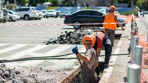
UK infrastructure projects are embracing safe digging practices with record-breaking numbers of people in the UK checking for underground pipes and cables before they start digging.

Online safe digging resource LSBUD has switched its mapping system to Google Maps to make searching for underground pipes and cables more accurate for fibre infrastructure builders.
The new mapping system will enhance search experience and zoom capabilities, allowing users to accurately plot their proposed work areas via satellite imagery.
MD Richard Broome said: “This move helps operators from right across the safe digging industry, covering all sectors and the public, to avoid the negative consequences that come from hitting an underground asset.
“This is chiefly the health and safety ramifications, but also the significant financial and reputational implications that come from asset strikes.”
LSBUD hosts over one million kilometres of underground infrastructure across the length and breadth of the country. It aims to roll out its platform to users in Northern Ireland later this year.


